In Tajikistan’s Pamir mountains: a road trip across the roof of the world
High-altitude headaches and bone-shaking drives aside, this lonely corner of the planet offers adventures aplenty, with hospitality as genuine as the air is pure
The road to Iskander Kul is a switchback of rough stones and corrugated holes that makes the four-wheel drive judder as I make wildly swerving progress, searching for a smooth line that doesn’t exist. Shepherds and their goats occasionally block the way and rock faces rear up, making progress seemingly impossible, before the road swings left or right abruptly, searching for a weakness and plunging through a gap on its unlikely progress.
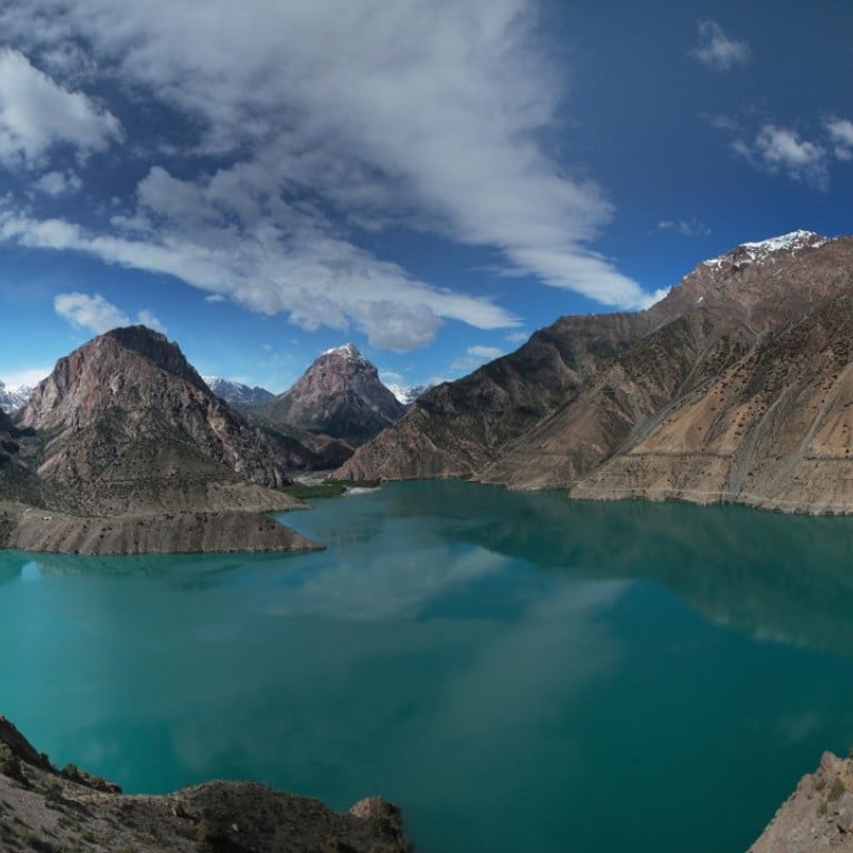
Clouds mass and the windscreen freckles with spots of rain, loosening hours of dust. I crest a hill and glimpse the lake for the first time, the sun shooting fingers through the grey parchment and laying sparkling sovereigns of light on the water, turning it from steel to burnished copper.
Where Instagrammers and Taliban play in Afghanistan
Iskander Kul means “Alexander’s lake”, Alexander the Great having passed through this part of western Tajikistan in the 4th century BC, during his campaigns in Central Asia. Its water is crystal clear and oh so very cold. Two massive breast-like hills frame the snowy bulk of Mount Sarytag and, all around, the dark green of mulberry trees contrasts with the dense rock and the lake, now opal blue beneath the brightening sky.
Tajikistan’s president, Emomali Rahmon, knows the value of a good view, having built a large and discordant holiday dacha and residence halfway around the lake shore, but I prefer the cafe that sells only 3-in-1 powder coffee, ice creams and batteries and the crumbling Soviet resort where I eat greasy mutton dumplings and sit with my feet in the sun after a brief encounter with the freezing lake.
The road south passes the capital, Dushanbe, then through hills covered in flowering gorse before passing over the modest Shurabad Pass, beyond which soldiers lounge by a flimsy gate to Tajikistan’s true mountain country, the Gorno-Badakhshan Autonomous Oblast (GBAO).
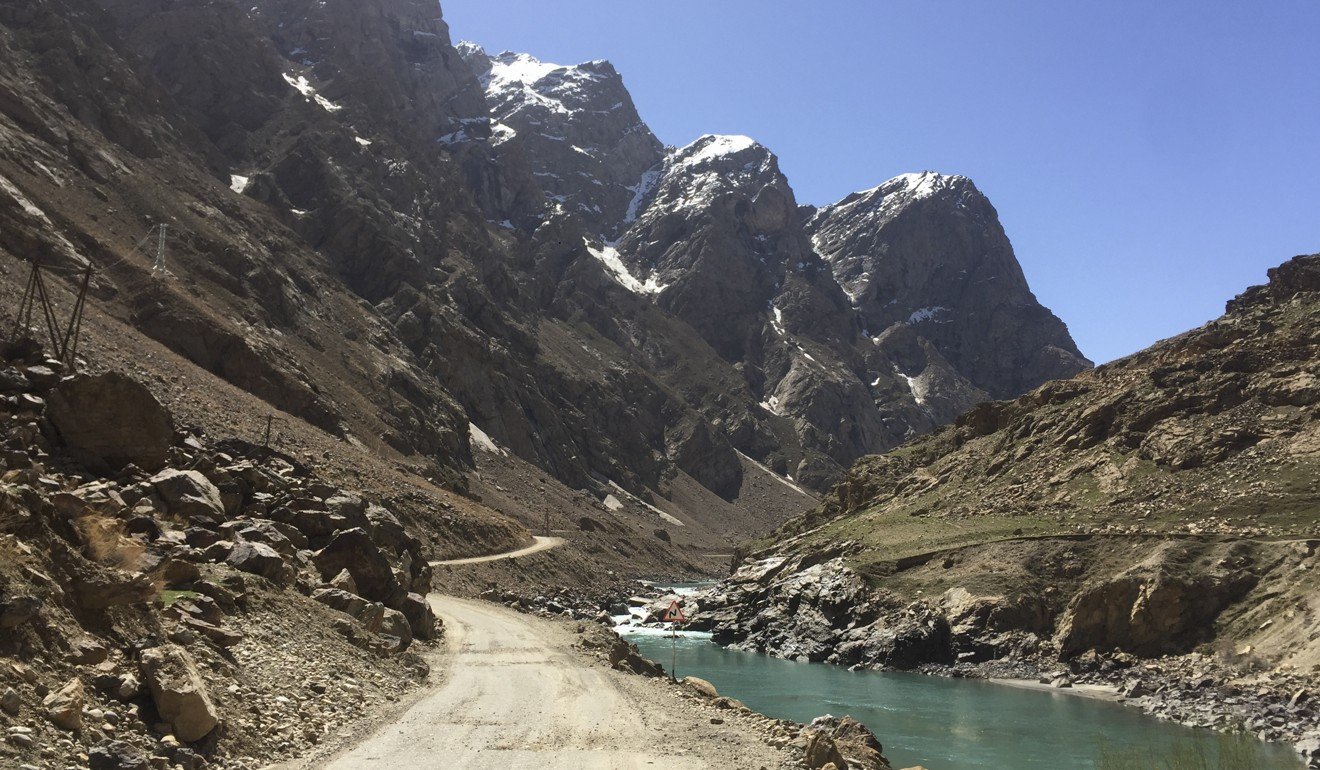
Badakhshan’s roughly 250,000 people represent 3 per cent of Tajikistan’s population but the territory occupies almost half of the country: wild terrain that rises to more than 7,000 metres and is known as the Pamirs – the “roof of the world”.
Through it runs the Pamir Highway, clinging improbably to rock faces and passing beneath teetering borders, plunging into deep canyons and hanging on to wobbling bridges across the glacial rivers that run along the Afghan border. It then turns north, over the high plateau to Kyrgyzstan.
The rumour of asphalt marks the difference between the Tajik and Afghan sides of the Panj river. Tajikistan has telegraph poles, power lines and the occasional tea house while the Afghan side is almost devoid of development apart from square adobe mud-house villages connected by dirt tracks along which large men wobble on tiny donkeys.
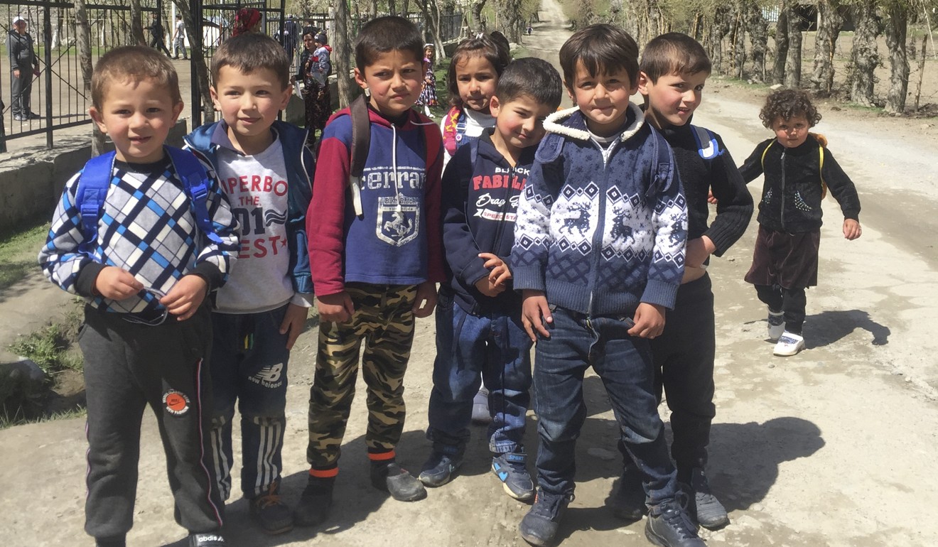
I stop for the night at Kalai-Khumb. Boys in dusty Real Madrid and Manchester United shirts kick a ball around before shadowy darkness envelops the village as the sun dips below the high valley walls.
The 240km drive to Khorog takes nine hours of the following day. Do the Tajiks have dozens of names for potholes, just as the Inuit do for snow? The idea seems ever more likely as I spend hour after hour beside beetling crags, above the raging border river 100 vertical feet below an alarmingly brittle road edge. All around are jagged aretes of rock and snowbound massifs beneath a sky that is almost artificially blue.
I roll gratefully into Khorog long after the sun has dipped below the mountain ridges and stars have begun to pepper the mountain night.
The GBAO’s provincial capital and the only town of any size for hundreds of miles, Khorog is an untidy place that spreads along the river and up the steep hills on either side; a bustling liveliness of markets and basic guest houses that have a certain sociable charm. Much appreciated are the warm(ish) shower, soft(ish) bed and (very) cheap and filling shurbo soup, tushbera meat dumplings and flatbread.
Guest houses are not the only growth industry in Khorog; the main street is lined with mechanics and tyre-repair shops tending to the needs of foolhardy visitors whose broken cars limp into town.
Mercifully, there are fewer potholes on the road to Ishkashim, where a bridge crosses the river to Afghanistan. A Saturday market takes place here every week, I’m told, on an island in the middle of the river that is neither Afghanistan nor Tajikistan.
I eat lunch in a cafe that is as dark and grimy as the mountain scenery is astonishing. There is no menu so I resort to the age old traveller fallback of pointing to what I want, except there is nothing to point at other than a tray of deflated, greasy mutton dumplings. These are served by an ancient waitress who winks at me. I ask if there are any vegetables and am presented with a jar of gherkins so dusty it might have been on the shelves back in Soviet times.
The Wakhan Corridor – an 1893 political buffer between British and Russian forces when both empires vied for control of Central Asia – juts east from Afghanistan, Tajikistan to the north, Pakistan to the south. Marco Polo came this way in 1275 and described “an extensive plain with great abundance of grass and trees and copious springs of pure water running down through rocky ravines. In those brooks I found trout and many other fish of dainty kinds and the air in these regions is so pure …”
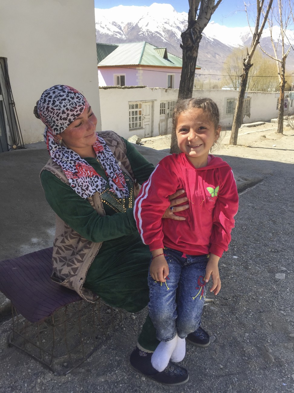
The grass and trees are no longer abundant – and the dainty fish have gone – but the air blowing down from the high glaciated Hindu Kush mountains remains pure. With peaks filling the horizon, the Wakhan gardens and villages are primmer and tidier and the fields more abundant than elsewhere on the Pamir Highway, though this might be partly due to an influx of charitable projects and United Nations money into the region.
Hardly a villager fails to return my wave as I drive 100km through the Wakhan. Fair-skinned children with tousled sandy hair clamber over ancient tractors and run along the grass verges of the road; the Portuguese Jesuit priest Bento de Goes crossed the Wakhan on his way to China between 1602 and 1606 and said the people here “had yellow hair and beard like people of the Low Countries” while British officer T.E Gordon remarked in 1874 that “fair hair and blue eyes are not uncommon”. Alexander’s Greek troops apparently passed this way, too.
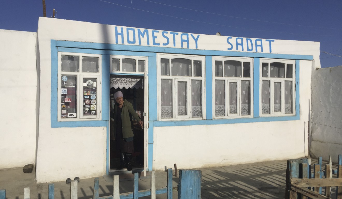
Stars are emerging in a deepening dark sky when I arrive at Langar. There are no guest houses in this tiny hamlet, where the Wakhan Road crosses the border into Afghanistan, but I am approached as soon as I arrive, just as I was told I would be, by a farmer who offers the hospitality of his home. The simple wooden structure has no bathroom but is loaded with great symbolism; there are no mosques in the mountains and spiritual fulfilment must be acquired domestically. The house, here, represents the universe and is split into three living areas, representing the animal, vegetable and mineral. The earth floor represents the inanimate world and a raised dais the levels of the soul on its road to enlightenment. I plonk my bag and my backside on a dais that immediately elevates my soul above the mundane. A meal of rice and mutton returns me to a temporal existence.
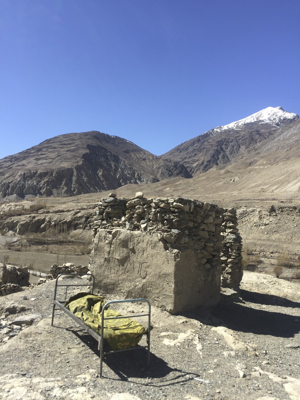
I awake to the smell of breakfast and leave Langar to the customary will-he-won’t-he refusal of my host to accept any money for my stay. The refusal is important because of the strong tradition of hospitality in these mountains and to charge/pay money would be missing the point. This wealthy Westerner in a four-wheel drive is a different case, of course, but still the theatrics of false outrage and modesty have to be observed before I am able to thrust some cash into his hand and leave.
The drive uphill from Langar to the high plateau is especially torturous. I bounce over 70km of gravel and boulders before finding a surface that approximates tarmac, going several hours without passing another car. The river border is narrow and frozen to the consistency of iron up here; it would be simple to stroll or skate into Afghanistan, though there seems little point since the bone-hard deserted hills on that side look just the same as those on this side.
There is a sullen beauty on the plateau: cold rock, parched earth and a thin dirt ribbon of road that stitches this remote patchwork under a high sun to the almost forgotten outside world.
My joy at reaching the asphalt of the M41 is short-lived: the surface makes it feel as if I am driving on a bouncy castle and, when I reach the town of Murghab, on the windswept plateau, the one-star hotel I promised myself is closed.
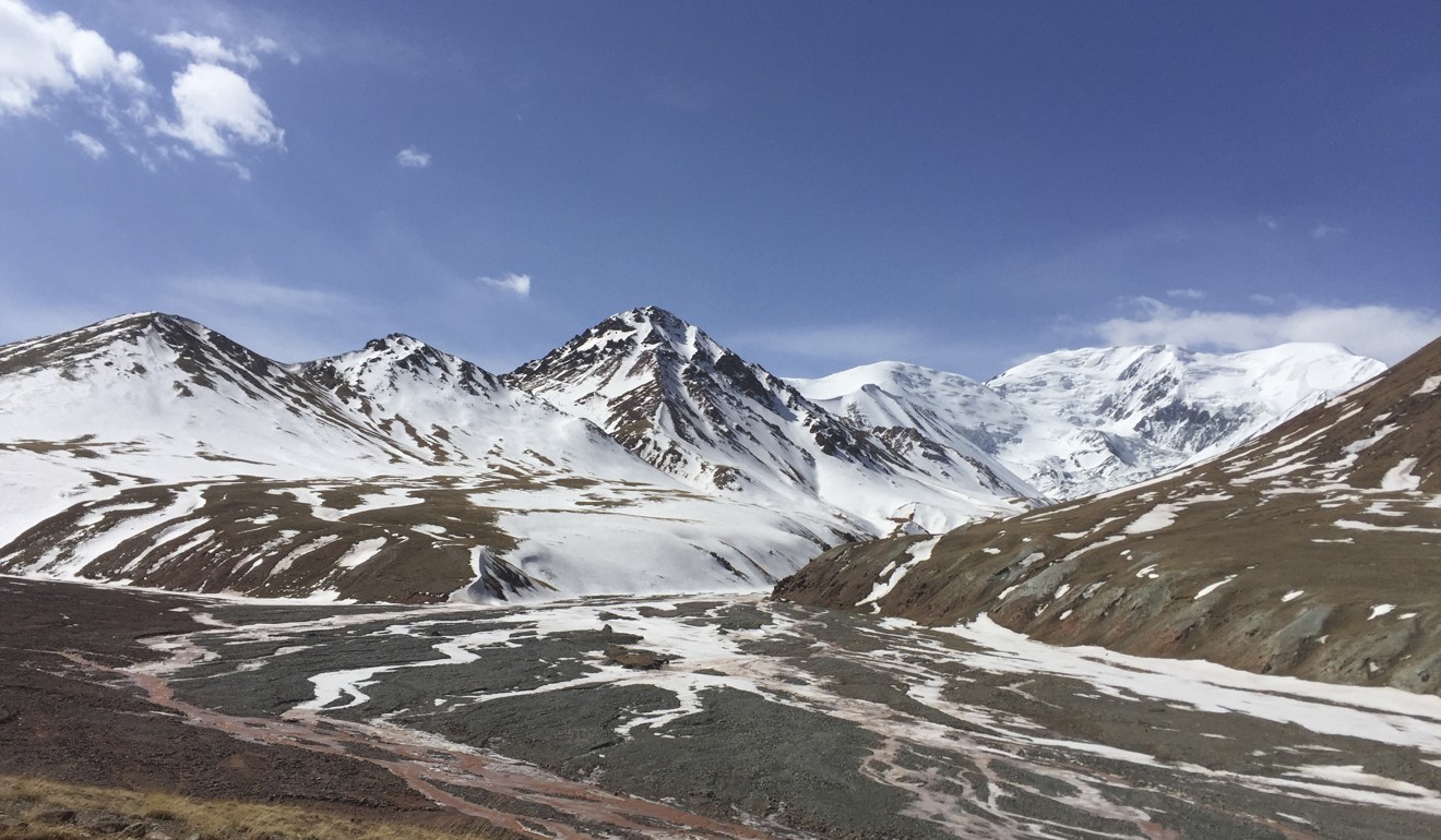
So I continue past Bulunkul, the coldest village in Tajikistan and the turn off to China, with its distant view of Muztagh-Ata, the whale-back bulk of rock and ice that, at 7,546 metres, is the highest Pamir mountain of them all. Then it’s over the 4,655 metre Ak-Baital (White Horse) pass to Karakul.
At 3,914 metres, Lake Karakul is the second highest navigable lake in the world (after Titicaca) and a huge sheet of ice in winter. Today, the blue expanse is whipped into horses as white as the pass I have crossed and I stay on the shore in a warm, comfortable homestay, with a raging thirst and an altitude-induced headache thumping at my temples. Local drivers eat kurut – hard balls of cheese – to deal with the altitude but I content myself with litres of tea.
My host speaks English, gives me fresh cooked vegetables and breakfast and tells me she has been a nurse in Murghab but doesn’t like the “big town”. She explains that visitors are becoming more common even in this remote place, although the first Westerners here were second world war German prisoners, from whom this area’s unusually large numbers of blonde-haired villagers are apparently descended. The place is high and cold and thrilling in its remoteness, but it’s a wonder those German POWs could have coped in such an environment, let alone have procreated.
The road rises again to the Kyzyl-Art Pass, which, at 4,282 metres, is smaller than Ak-Baital but is made infinitely more challenging by the appalling condition of the road, which has more in common with a ploughed field than a highway.
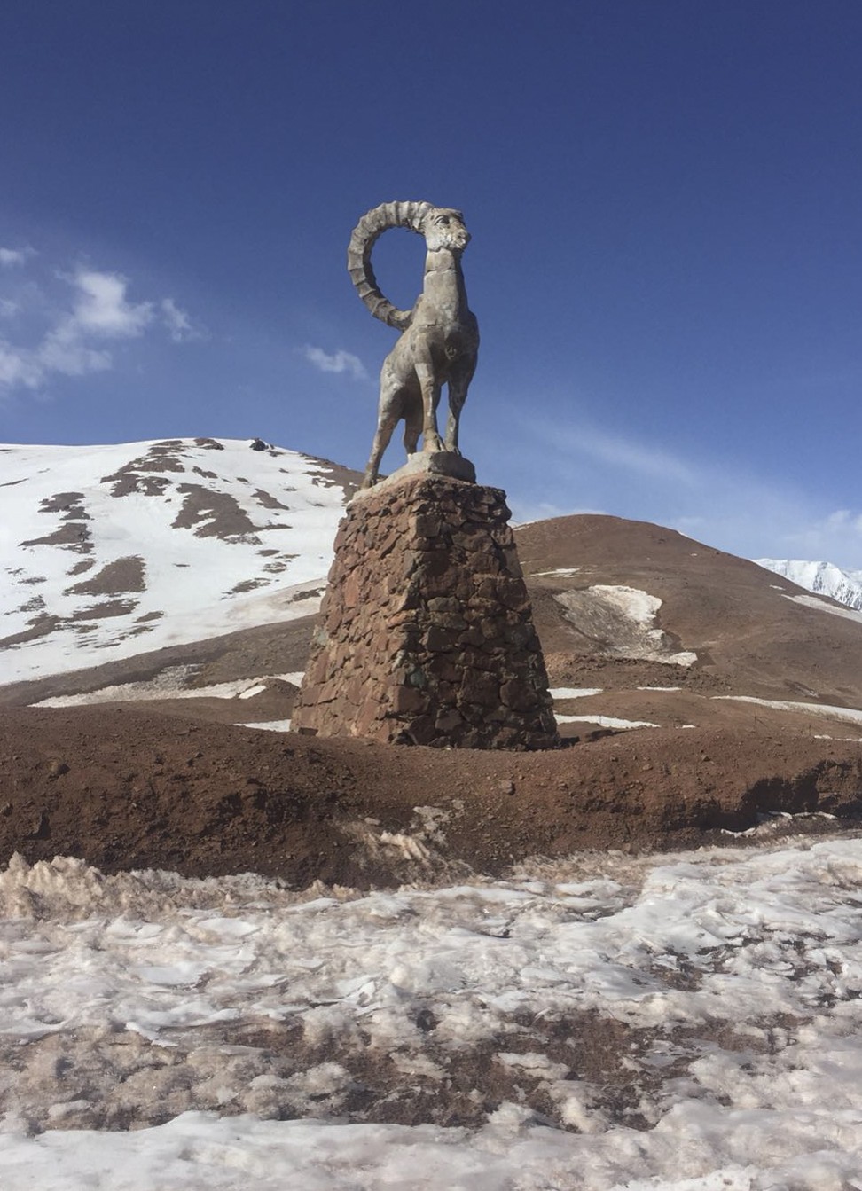
The second highest border crossing in the world (behind the nearby Karakoram, which connects China and Pakistan), the boundary with Kyrgyzstan is marked by a huge statue of a curly horned Marco Polo sheep. The animal – so named because the adventurer recorded seeing sheep “of huge size” here in the 13th century – is endangered, with trophy hunters paying US$25,000 for a set of horns. I don’t see any real ones.
The Tajik border post is desperately ramshackle. A soldier sitting by a coal brazier in a filthy room stamps my forms wordlessly, seemingly without the energy to even demand a bribe. The Kyrgyz border post is a little smarter and more organised, although the guard who approaches slips on the ice and drops his gun. Having survived altitude, cold and punctures in the loneliest of places, it would be a cruel twist I were meet my maker at the very end of the Pamir Highway.
Fortunately, the weapon doesn’t go off. Having regained his poise, the guard asks if I have bombs, marijuana or any of my own guns in the car and seems happy to hear that I do not. He waves me through to a new country and … smooth tarmac.
I slip the car into fifth gear for the first time in a very long while and accelerate downhill, Tajikistan and the Pamir mountains receding in my mirrors as I head north.
